4. Access and use of data - Knowledge management
Principles for operation of the gliders are determined by a Scientific User Committee. The composition of this committee shall be decided in consultation with the Norwegian Research Council and may change over time depending on the user communities. Reasonable sampling schemes will be determined based on science project proposals and the experience from the operations manager and staff affiliated with the project. Initially during testing and before individual science projects are established, repeat sections similar to the hydrographic sections off Svinøy and Lofoten basin but with considerably higher spatial and temporal resolution will be used in combination with sections in the intermediate area near station M.
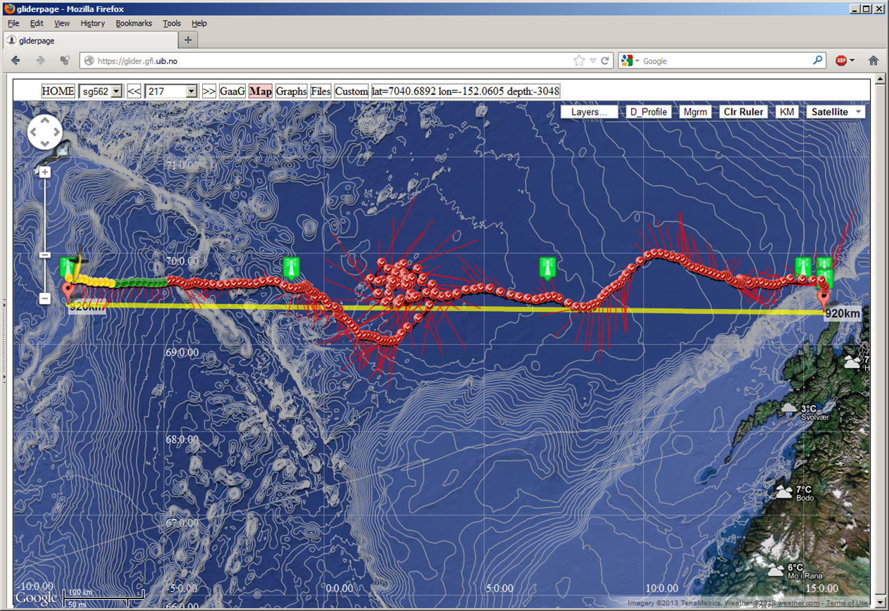
The infrastructure is made accessible for qualified users through the internet. Training in flight control will be needed for the individual scientist to be allowed to steer the glider directly. Normally the operations centre (see section 8) will be involved, in close contact with the individual science projects. However we expect the software for flight control will evolve rapidly through international collaboration so that the threshold for directly involving interested scientists will be lowered during the project period. However the technical handling of the gliders, launch and recovery, sensor calibration etc. will only be carried out by personnel directly involved in the infrastructure. Observational data is available in real time and on web; e.g. the Seaglider:NACO Gliderpage.
Data from the first initial seaglider sections (2009) at the Svinøy secton are still at APL:
Data management is left to overarching data centre activities such as the Norwegian Marine Data Centre (NMD) which is hosted at Institute of Marine Research. Data will furthermore be available through Arctic ROOS, EGO and data centres such as CORIOLIS .
[PREV CHAPTER] [NEXT CHAPTER]